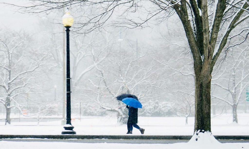
Hold on to your duck boots Washingtonians, more snow is coming!
Looks like winter isn’t quite done with us yet, the National Weather Service recently issued a new Winter Storm Watch in the DC metro area for late Wednesday night, February 17.
Winter Storm Watches have been issued for the entire region for heavy wintry precipitation starting late Wednesday night and continuing through Thursday night. Visit https://t.co/ZOlvESgJ2H for more details. #DCwx #MDwx #VAwx #WVwx pic.twitter.com/ieYFLd2lqL
— NWS Baltimore-Washington (@NWS_BaltWash) February 16, 2021
Significant snow and ice are possible in the DC area and the close-in suburbs in Maryland and Northern Virginia, in which we’ll likely see over 5 inches of snow and ice accumulations of a quarter-inch or higher.
“When venturing outside, watch your first few steps taken on steps, sidewalks, and driveways, which could be icy and slippery, increasing your risk of a fall and injury,” reads the weather service report.
“This storm will be the most impactful for our region that we have seen so far this winter,” explained Doug Kammerer, NBC Washington’s chief meteorologist, in a tweet.
The weather service also advised against unnecessary travel, but for those who do have to travel, it recommended an extra flashlight, food, and water in the vehicle in case of an emergency. Travel could be very difficult and hazardous conditions could impact the morning or evening commute.
The winter storm watch will remain in place until Friday morning, February 19, when temperatures are likely to climb up to the 40s and the mix of snow and rain will end early in the morning.
If you feel like reminiscing here are 18 photos of DC looking like an absolute winter wonderland during last month’s snow!
[Featured image: Instagram / @annabmartin]
